Attempted to complete the >5-Peak Challenge in one day with a couple friends. The challenge is to summit North Fortuna, South Fortuna, Kwaay Paay, Cowles Mountain, and Pyles Peak in any order and in your own time frame. You take a selfie of top of the peaks and send them to the organization to receive a 5-Peak Challenge certificate, logo pin and $10 voucher. We decided to tackle this challenge and complete it in one day. Credit go to Brian for routing us to hit all five peaks efficiently.
We started at Cowles Mountain mainly because it was the easiest and the trail connects to Pyles Peak. I’ve hiked Cowles Mountain plenty of times so this first route was a breeze. We started our ascent at 6am. We started at the Cowles Staging Area which is about 1.5miles to the summit. Cowles Mountain is heavily trafficked. A lot of locals hike this mountain as a brisk walk. Even at 6am there were plenty of people hiking.
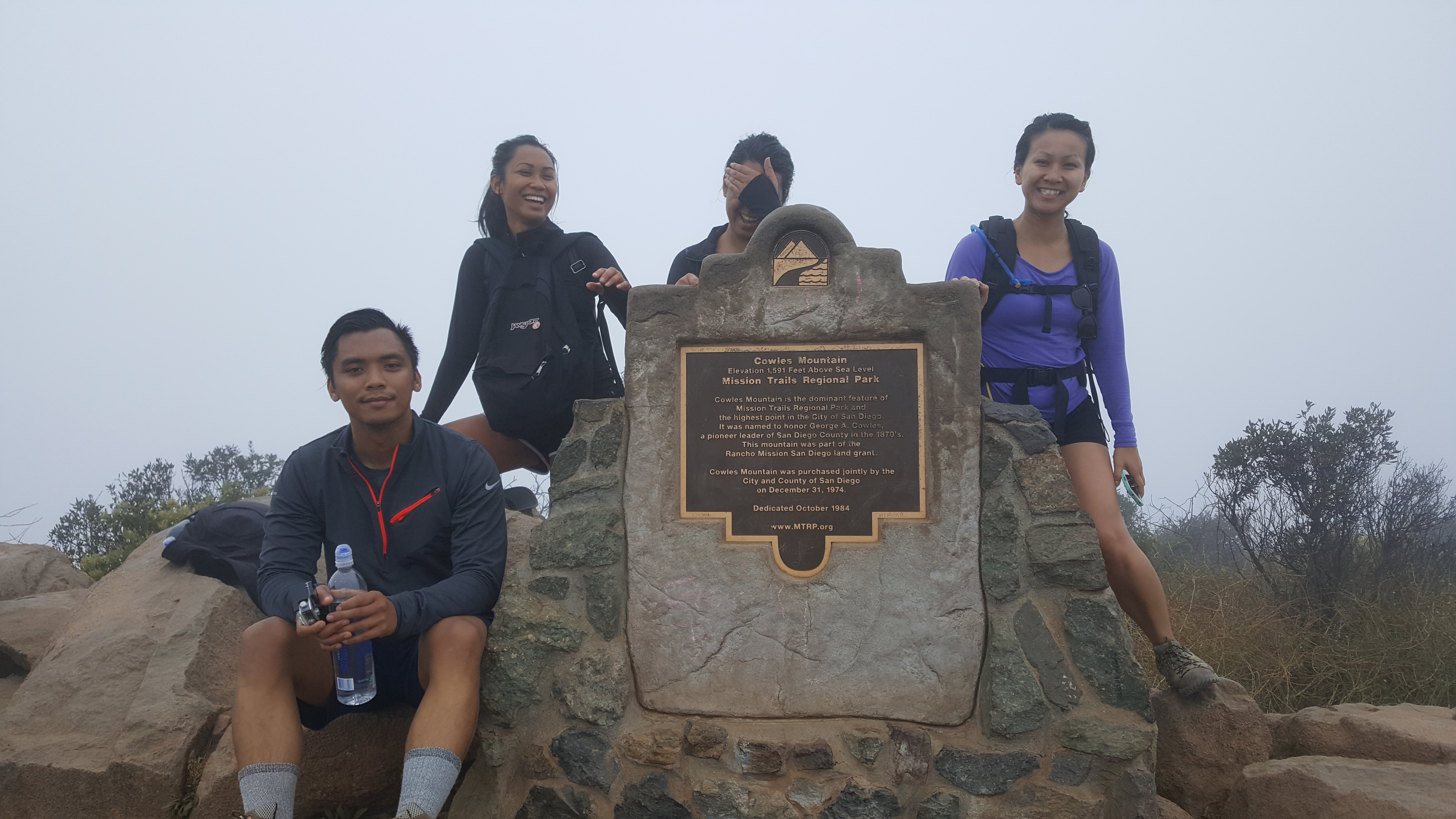
The way to the Pyles Peak trailhead is in front of the summit monument. There is a little dip and you’ll see two trails going downhill- take the left fork and you’ll see the Pyles Peak trail sign.
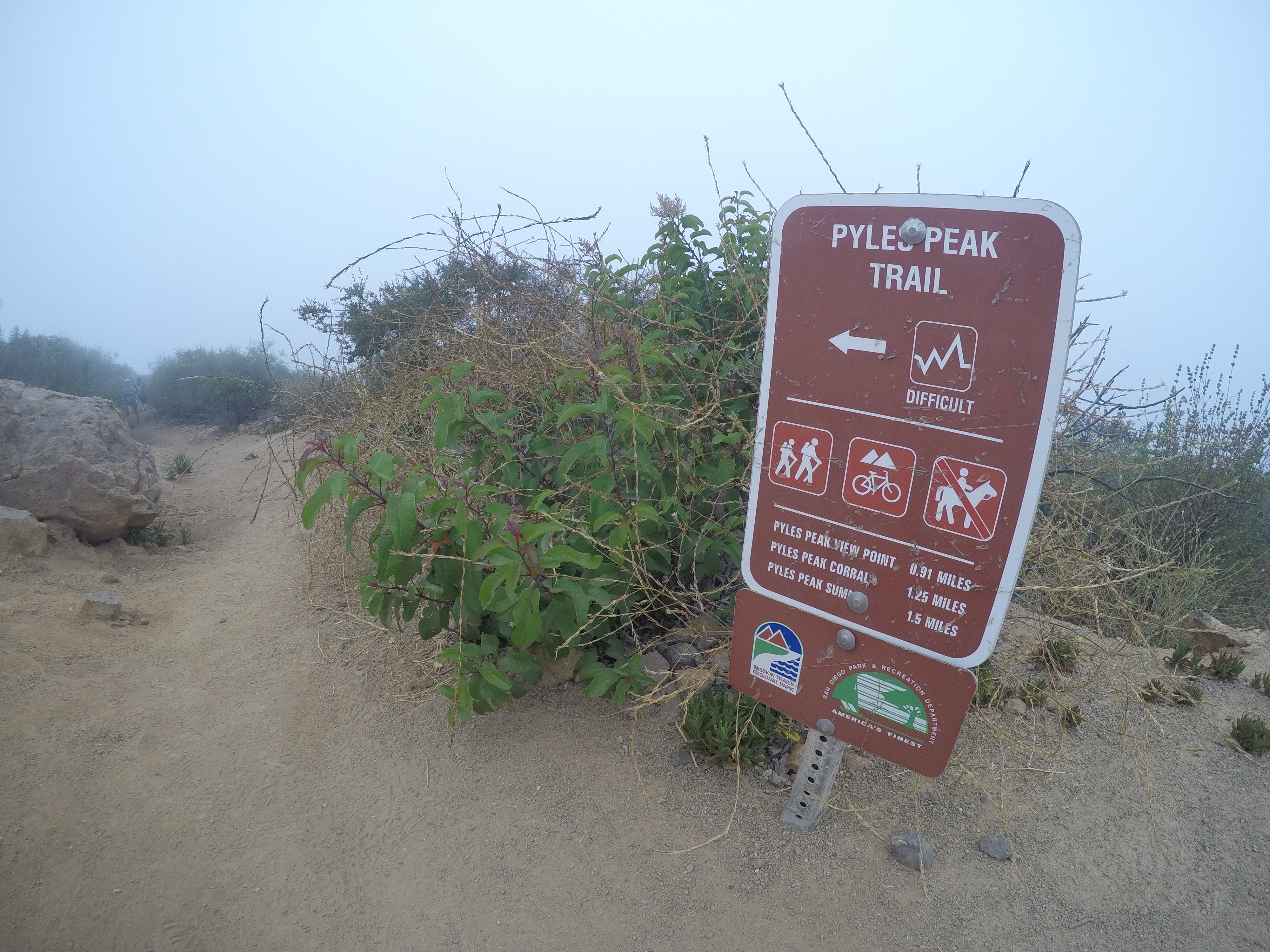
Despite the countless times I’ve hiked Cowles I’ve never been to Pyles Peak. There wasn’t much of a descent and there weren’t as many switchbacks as there are on Cowles. It was about 7am when we started onto Pyles Peak. It was still foggy so it felt like you were walking in a scene from Silent Hill. I wish I could’ve seen the view but it most likely would’ve just been the houses settled at the bottom of the mountain.


We hiked back down to the parking lot and realized we had too slow of a pace. It was about 9am when we got down. Total mileage was about 5.5mi roundtrip from the parking lot to Pyles Peak. From here we drove to West Fortuna Staging Area to finish the next three peaks.
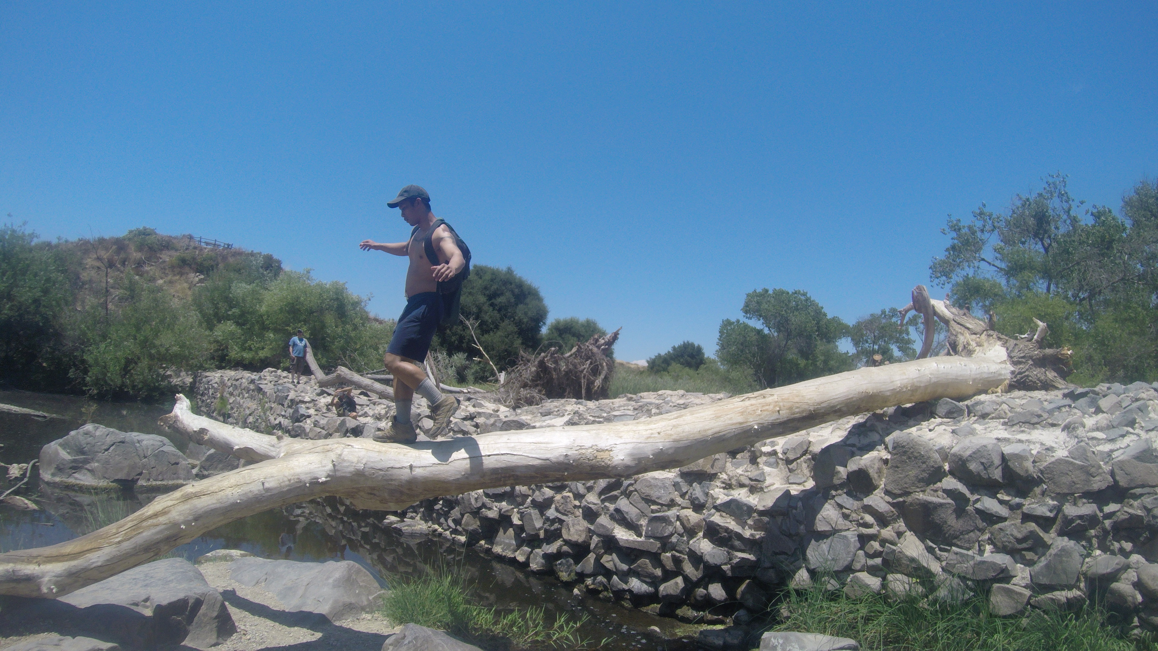
We followed the South Fortuna Mountain trail highlighted on the 5-Peak Challenge map. This was equally grueling and enjoyable. From the parking lot you cross the bridge and hike the down through the valley for about 1mi. The hardest part of the trail is the ascent. The switchbacks are short and steep- Carolyn aptly named these the Stairs of Death. At this point of the hike my phone died and realized that the GoPro had been recording in slow-mo feature- making the clips unusable. So I don’t have any footage of the ascent but we were dying at the top. From here the summit is another .5 mile until the summit sign. There is no water source on this trail until the parking lot on Old Mission Dam, so make sure you bring enough.


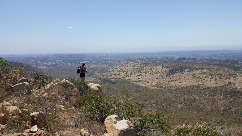
From South Fortuna Mountain the North Fortuna Mountain summit is about 1mi away. The hike to the trailhead is a short descent. At this point, it was about 1pm and started running into other hikers that were doing the 5-Peak Challenge. The trail up to North Fortuna Mountain is only .5mi but fairly steep. The view here was great- to be honest this was the first peak in which I admired the view. We were tired and we wanted to finish the hike so we didn’t stay long.


We retreated back towards South Fortuna and took a left at the fork towards Old Mission Dam. The trail here is extremely steep and killer on the knees.
Once the trail levels out you’ll notice that you are walking alongside a creek. It hasn’t rained here in months so the creek is extremely dry. There are pools in which you can see tadpoles and bees hanging out. Unlike the previous trails, there are trees so you aren’t completely exposed. The trail is about 2mi until you reach the dam. This is close to the parking lot so you’ll see a lot of people here.
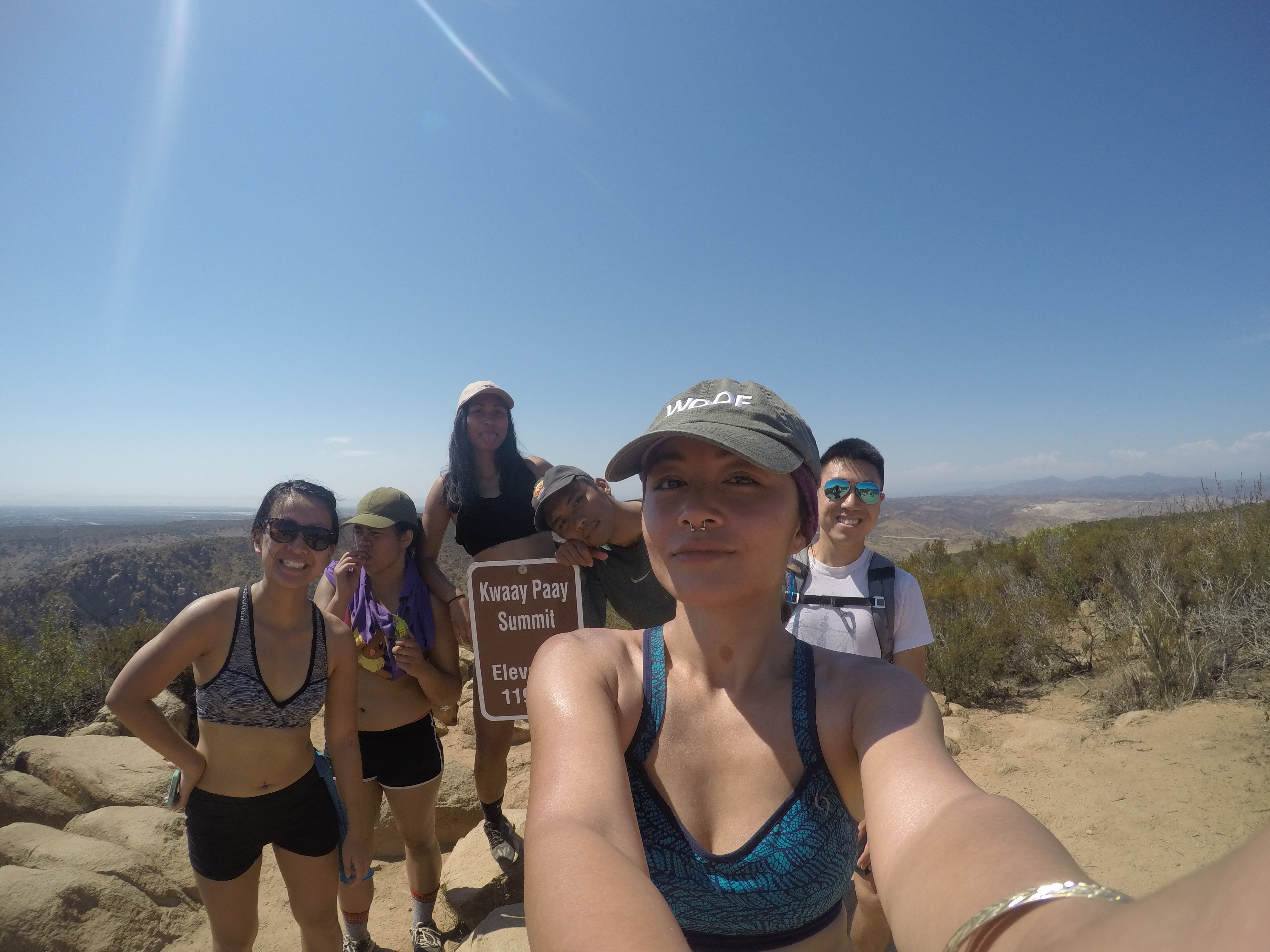
Kwaay Paay trailhead is a short walk from the dam. You can refill your water here and take on the final push to complete the 5-Peak Challenge. This is a straight-shot incline to the peak. The trail isn’t anything special. You will be surrounded by shrubs that’ll likely leave scratches. Similarly to South Fortuna Mountain, the second half of the trial are steep stairs. I highly recommend trekking poles for this trail. At the end you have an amazing view of San Diego. Facing the sign, you can seen North and South Fortuna on your right and Pyles Peak and Cowles Mountain on the left. The hike from Old Mission Dam to the summit was about 1.5mi.
I highly recommend this challenge. The trails are all different from each other and provide different challenges. I will definitely try South Fortuna Mountain again because the ascent was a nice challenge- this was my favorite section of the trip. Big shout out to Brian for planning this route. Biggest lesson for me was to make double check camera settings :(. We completed the hike around 4pm- a little under 10hrs of hiking.
MILEAGE REVIEW (estimate using the map)
Cowles Staging Area- Cowles Mountain- Pyles Peak Round Trip: 5.5mi
West Fortuna Staging Area- South Fortuna Mountain- Fortuna Saddle: 2.8mi
Fortuna Saddle- North Fortuna Mountain Round Trip: 1mi
Fortuna Saddle- Old Mission Dam: 1.25mi
Old Mission Dam- Kwaay Paay Round Trip: 2.4mi
TOTAL: ~12.95mi

Leave a comment